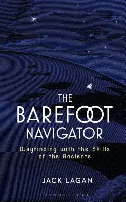
The Barefoot Navigator introduces the navigation skills of the
ancients--methods using the sun, sea, wind, and stars, and even the
flight patterns of ocean birds. The Barefoot Navigator also shows
today's sailors how to apply these methods to augment--and in the case
of emergency, replace-their modern navigation systems. And it not just
for emergencies--sometimes it is just plain fun to create a simple
astrolabe or polar stick and confirm what your GPS tells you.
Polynesians managed to populate an area of ocean larger than North
America simply by analyzing clouds, currents, and wind direction--how
did they do it? In the first portion of The Barefoot Navigator Lagan
introduces these ancient seafarers and their powerful, accurate--and
seemingly simple--navigation techniques. We also learn that the Vikings
routinely traveled on the notorious stretches of water between Iceland,
Greenland, and Scandinavia--no charts, no GPS; it seems mind-boggling
but Lagan shows us how. The second section of The Barefoot Navigator
teaches how to combine these ancient techniques--and even construct the
simple devices if we desire-with today's modern navigational devices,
especially in emergency situations (loss of power, loss of signal), to
ensure a constant grasp on your vessel's location--no matter what.
Interlacing fascinating history with useful advice and enjoyable
writing, The Barefoot Navigator is unlike every other navigation
reference out there.

