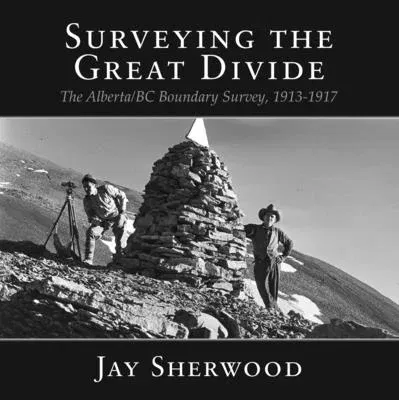
In 1917 Canada commemorated its 50th anniversary against the backdrop of
World War I. Although the war effort was the main focus of the federal
and provincial governments, some important projects continued. The
Alberta-BC boundary survey, which had started in 1913 during an economic
boom in western Canada, continued to receive funding throughout the war.
It was quintessentially a Canadian project -- talented Canadian
surveyors using the most modern equipment available, transported by
horses and humans through rugged wilderness country to mountain passes
and the summits of peaks along the Great (Continental) Divide.
Throughout their journey, the surveyors documented their work, leaving
behind not only a comprehensive collection of letters and journals, but
also one of the most extensive collections of surveying photography in
North America. The survey crew climbed many mountains, taking pictures
from the peaks that were later used to create the first detailed maps of
the Great Divide. Today scientists are taking repeat photographs at the
same locations, documenting the dramatic changes the have occurred in
the Rocky Mountain landscape during the past century.
One hundred years later, as Canada celebrates the 150th anniversary of
Confederation, Jay Sherwood's SURVEYING THE GREAT DIVIDE offers a
testimony to the fortitude of the survey crews who risked their lives
working in remote, mountainous terrain documenting the boundary between
Alberta and BC.

