AA Publishing
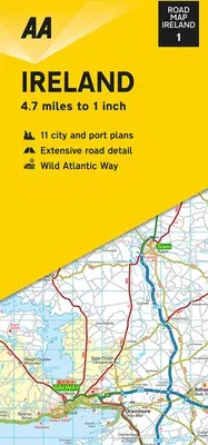
(Author)Road Map IrelandFolded, 1 September 2020

Qty
1
Turbo
Ships in 2 - 3 days
In Stock
Free Delivery
Cash on Delivery
15 Days
Free Returns
Secure Checkout

Print Length
1 pages
Language
English
Publisher
AA Publishing
Date Published
1 Sep 2020
ISBN-10
0749582316
ISBN-13
9780749582319
Description
Product Details
Author:
Book Format:
Folded
Country of Origin:
US
Date Published:
1 September 2020
Dimensions:
24.89 x
10.92 x
0.76 cm
Genre:
Ireland
ISBN-10:
0749582316
ISBN-13:
9780749582319
Language:
English
Pages:
1
Publisher:
Weight:
136.08 gm