Map of the Inland Waterways of ScotlandFolded, 1 January 2013
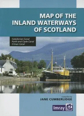
Map of the Inland Waterways of Scotland
Qty
1
Turbo
Ships in 2 - 3 days
In Stock
Free Delivery
Cash on Delivery
15 Days
Free Returns
Secure Checkout
Buy More, Save More
Print Length
1 pages
Language
English
Publisher
Imray
Date Published
1 Jan 2013
ISBN-10
1846235227
ISBN-13
9781846235221

Description

The second edition of Imray's Map of the Inland Waterways of Scotland has been updated. Contact details for the new Scottish Waterways body that replaces British Waterways have been added. The descriptive text has been improved with the addition of more photos. 'Imray are synonymous with nautical maps...and Jane Cumberlidge is a much respected writer on canals throughout Europe. Together they make a formidable pairing and this excellent map reflects all their combined knowledge and expertise. Map is perhaps something of a misnomer, for a comprehensive text is provided, with superb accommpanying photos featuring the Caledonian, Crinan, Forth & Clyde and Union canals. This second edition has been brought right up to date with contact details for Scottish Canals, the new body that took over from British Waterways Scotland in July last year. Keith Goss, Waterways World July 2013.

Product Details

Book Format:
Folded
Country of Origin:
US
Date Published:
1 January 2013
Dimensions:
22.61 x 14.99 x 1.02 cm
ISBN-10:
1846235227
ISBN-13:
9781846235221
Language:
English
Location:
Huntingdon
Pages:
1
Publisher:
Imray
Weight:
113.4 gm

Need Help?
+971 6 731 0280
support@gzb.ae

About UsContact UsPayment MethodsFAQsShipping PolicyRefund and ReturnTerms of UsePrivacy PolicyCookie Notice

VisaMastercardCash on Delivery

© 2024 White Lion General Trading LLC. All rights reserved.