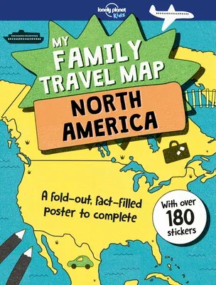
Introduce kids to the United States, Canada, Mexico and the Caribbean
and get them to help plan their next family trip with this giant
fold-out map. Bright and colorful, it unfolds into a detailed poster
ready for kids to personalize by adding stickers to mark their family's
travels and favorite locations. But that's not all! Flipping the map
over reveals lots of fun facts to learn along the way.
My Family Travel Map - North Americais a new, regional and more
detailed version of Lonely Planet's original My Family Travel Map.
It's now easier to navigate over greater distances en route and children
can mark their dream, must-visit destinations to create an ultimate
wishlist. Stickers include everything from wild weather and cool
creatures to help bring the map to life, highlight what makes each
destination unique, and create a keepsake record of family travel
memories. It's also perforated, making it easy to remove and display as
a wall poster.
Other Lonely Planet Kids family activity books also available:
- My Family Travel Map
- My Family Travel Map Europe
- My Family Travel Map Australia
- My Family Height Chart
- My Vacation Scrapbook
- My Vacation Drawing Journal
- My Travel Journal
- Backyard Explorer
- Boredom Buster
- Round the World Quiz Book
- Brain Teasers
About Lonely Planet Kids: Come explore! Let's start an adventure.
Lonely Planet Kids excites and educates children about the amazing world
around them. Combining astonishing facts, quirky humor and eye-catching
imagery, we ignite their curiosity and encourage them to discover more
about our planet. Every book draws on our huge team of global experts to
help share our continual fascination with what makes the world such a
diverse and magnificent place - inspiring children at home and in
school.

