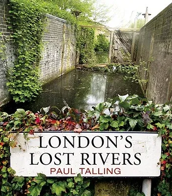
Paul Talling
(Author)London's Lost RiversPaperback, 1 June 2011

Qty
1
Turbo
Ships in 2 - 3 days
Only 4 left
Free Delivery
Cash on Delivery
15 Days
Free Returns
Secure Checkout

Print Length
192 pages
Language
English
Publisher
Random House UK
Date Published
1 Jun 2011
ISBN-10
184794597X
ISBN-13
9781847945976
Description
Product Details
Author:
Book Format:
Paperback
Country of Origin:
GB
Date Published:
1 June 2011
Dimensions:
15.49 x
13.72 x
1.52 cm
ISBN-10:
184794597X
ISBN-13:
9781847945976
Language:
English
Pages:
192
Publisher:
Weight:
272.16 gm