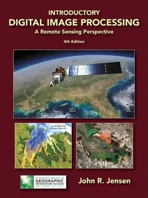
John Jensen
(Author)Introductory Digital Image Processing: A Remote Sensing Perspective (Revised)Hardcover - Revised, 21 April 2015

Temporarily out of stock
Free Delivery
Cash on Delivery
15 Days
Free Returns
Secure Checkout

Print Length
656 pages
Language
English
Publisher
Pearson
Date Published
21 Apr 2015
ISBN-10
013405816X
ISBN-13
9780134058160
Description
Product Details
Author:
Book Edition:
Revised
Book Format:
Hardcover
Country of Origin:
US
Date Published:
21 April 2015
Dimensions:
27.69 x
21.59 x
2.79 cm
Genre:
Science/Technology Aspects
ISBN-10:
013405816X
ISBN-13:
9780134058160
Language:
English
Location:
Upper Saddle River
Pages:
656
Publisher:
Weight:
1564.89 gm