Ivar Dedekam

(Author)

Illustrated Navigation: Traditional, Electronic & Celestial NavigationPaperback, 4 May 2017
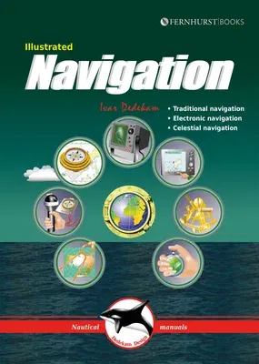
Illustrated Navigation: Traditional, Electronic & Celestial Navigation
Qty
1
Turbo
Ships in 2 - 3 days
Only 4 left
Free Delivery
Cash on Delivery
15 Days
Free Returns
Secure Checkout
Buy More, Save More
Part of Series
Illustrated Nautical Manuals
Print Length
84 pages
Language
English
Publisher
Fernhurst Books
Date Published
4 May 2017
ISBN-10
1909911585
ISBN-13
9781909911581

Description

Today, yachts are often equipped with radar, GPS, chart plotters, AIS, etc. This equipment has also become much more reliable, making it possible to make long offshore passages without a great knowledge of navigation. However, such equipment can be set up wrongly, interpreted incorrectly, malfunction or lose power. In these circumstances, knowledge of traditional navigation can become extremely important. This book will teach you how to navigate in the traditional way using compass, log and plotter; and also how to navigate using electronic aids like GPS, radar and chart plotter. In addition, you will learn some basic celestial navigation using the sun and stars to obtain your position using sextant, almanacs, tables and a watch. Each method of navigation is explained alongside detailed illustrations and examples, combining to make a straightforward and easy-to-follow guide.

Product Details

Author:
Ivar Dedekam
Book Format:
Paperback
Country of Origin:
GB
Date Published:
4 May 2017
Dimensions:
23.88 x 17.02 x 0.76 cm
ISBN-10:
1909911585
ISBN-13:
9781909911581
Language:
English
Location:
Leamington Spa
Pages:
84
Publisher:
Weight:
204.12 gm

Related Categories


Need Help?
+971 6 731 0280
support@gzb.ae

About UsContact UsPayment MethodsFAQsShipping PolicyRefund and ReturnTerms of UsePrivacy PolicyCookie Notice

VisaMastercardCash on Delivery

© 2024 White Lion General Trading LLC. All rights reserved.