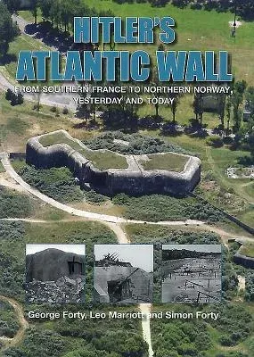
Masters of the continent, the Nazis realized that they would have to
defend their gains, and once the United States entered the war,
redoubled their efforts. Using forced and slave labor they built a chain
of defensive positions, coastal batteries, and beach defenses from the
top of Norway to the Franco-Spanish border.
However, as was so typical of the Nazis, while the bunkers and batteries
seem impressively constructed, and the Atlantic Wall has left a
permanent reminder of the years of Nazi domination, it was crippled by
lack of strategic planning, internal bickering, and a multitude of
command structures that did not communicate with each other effectively.
In June 1944 the Allies burst through the wall, and while it took many
lives to break the crust of the German defenses, the vaunted Atlantic
Wall proved ineffective save for the fortresses the Allies bypassed and
subdued later.
Using the same formula as in their books on The Normandy Battlefields
and Race to the Rhine, Leo Marriott and Simon Forty combine bespoke
aerial photography with old photographs, maps, and current illustrations
to provide a pictorial analysis of the subject--Around 500 illustrations
ensure the subject is well covered. After opening sections on the
construction of the wall, the defensive plan, and the different
structures that were built, Hitler's Atlantic Wall yesterday and today
provides a survey of the key locations and what can be seen
today--including many of the museums that interpret them. The bulk of
the book is divided geographically by country, dealing with France,
Belgium, the Netherlands, Denmark, and Norway. After 70 years, the
Atlantic Wall is still a remarkable reminder of the war years, and one
that continues to fascinate.

