Giza Plateau Mapping Project: Season 2009 Preliminary ReportHardcover, 5 April 2011
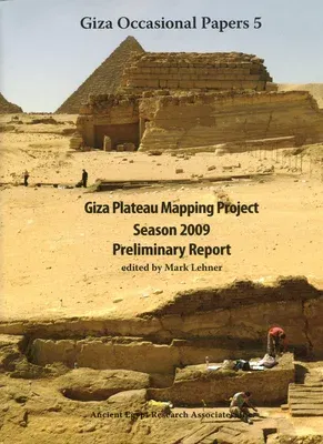
Giza Plateau Mapping Project: Season 2009 Preliminary Report
Qty
1
Turbo
Ships in 2 - 3 days
In Stock
Free Delivery
Cash on Delivery
15 Days
Free Returns
Secure Checkout
Buy More, Save More
Part of Series
Giza Occasional Papers
Print Length
244 pages
Language
English
Publisher
Ancient Egypt Research Associates
Date Published
5 Apr 2011
ISBN-10
0977937097
ISBN-13
9780977937097

Description

During 2009, the Giza Plateau Mapping Project carried out excavations at two sites as part of its ongoing research program: 1) the settlement connected to the Khentkawes Monument on the Giza Plateau and 2) the nearby town, Heit el-Ghurab (aka Lost City of the Pyramids). The 2009 work yielded some important discoveries such as evidence that the 4th Dynasty Khentkawes Town was in fact occupied into the 5th Dynasty with reoccupation later, probably in the 6th Dynasty. The major discovery was the remains of a previously unknown valley complex off the east end of the Khentkawes Town made up of corridors, ramps, and stairs descending into a depression that may prove to be a harbor. This collection of papers by archaeologists and specialists details the results of the excavations and additional work carried out in 2009. The book is well illustrated with abundant maps and photographs, along with large foldout maps and isometric drawings.

Product Details

Book Format:
Hardcover
Country of Origin:
US
Date Published:
5 April 2011
Dimensions:
28.45 x 21.84 x 2.54 cm
ISBN-10:
0977937097
ISBN-13:
9780977937097
Language:
English
Pages:
244
Publisher:
Ancient Egypt Research Associates
Weight:
1428.81 gm

Related Categories


Need Help?
+971 6 731 0280
support@gzb.ae

About UsContact UsPayment MethodsFAQsShipping PolicyRefund and ReturnTerms of UsePrivacy PolicyCookie Notice

VisaMastercardCash on Delivery

© 2024 White Lion General Trading LLC. All rights reserved.