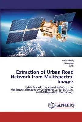
Abdur Raziq
(Author)Extraction of Urban Road Network from Multispectral ImagesPaperback, 8 October 2019

Qty
1
Turbo
Ships in 2 - 3 days
In Stock
Free Delivery
Cash on Delivery
15 Days
Free Returns
Secure Checkout
Print Length
108 pages
Language
English
Publisher
LAP Lambert Academic Publishing
Date Published
8 Oct 2019
ISBN-10
6200438218
ISBN-13
9786200438218
Description
Product Details
Authors:
Book Format:
Paperback
Country of Origin:
US
Date Published:
8 October 2019
Dimensions:
22.86 x
15.24 x
0.66 cm
ISBN-10:
6200438218
ISBN-13:
9786200438218
Language:
English
Pages:
108
Publisher:
Weight:
167.83 gm

