Stephen Scoffham

(Author)

Collins Primary Atlases - UK in MapsPaperback, 1 June 2019
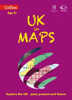
Collins Primary Atlases - UK in Maps
Qty
1
Turbo
Ships in 2 - 3 days
In Stock
Free Delivery
Cash on Delivery
15 Days
Free Returns
Secure Checkout
Buy More, Save More
Reading Age
Ages: 8
Grade Levels
3
Part of Series
Collins Primary Atlases
Print Length
56 pages
Language
English
Publisher
Collins
Date Published
1 Jun 2019
ISBN-10
0008271739
ISBN-13
9780008271732

Description

Collins UK in Maps is a multi-topic atlas of the UK, which introduces the most relevant topics to reflect the Geography Key Stage 2-3 requirements of the National Curriculum. Formerly published as Collins Keystart UK Atlas, this collection of maps can be used to investigate different themes and topics. It tells a story in maps, diagrams, charts, words and photographs each of which presents information to compare and examine. We live on a remarkable planet and this atlas helps us to make sense of the UK today and understand how things came to be as well as how they might change in years to come. Suggested activities on each spread encourage users to explorer further.

Product Details

Audience:
Ages: 8
Authors:
Stephen ScoffhamCollins Maps
Book Format:
Paperback
Country of Origin:
US
Date Published:
1 June 2019
Dimensions:
30.48 x 23.88 x 0.51 cm
Educational Level:
Grade Levels: 3
ISBN-10:
0008271739
ISBN-13:
9780008271732
Language:
English
Pages:
56
Publisher:
Weight:
249.48 gm

Need Help?
+971 6 731 0280
support@gzb.ae

About UsContact UsPayment MethodsFAQsShipping PolicyRefund and ReturnTerms of UsePrivacy PolicyCookie Notice

VisaMastercardCash on Delivery

© 2025 White Lion General Trading LLC. All rights reserved.