The past two decades have seen revolutionary shifts in our ability to
navigate, inhabit, and define the spatial realm. The data flows that
condition much of our lives now regularly include Global Positioning
System (GPS) readings and satellite images of a quality once reserved
for a few militaries and intelligence agencies, and powerful geographic
information system (GIS) software is now commonplace. These new
technologies have raised fundamental questions about the intersection
between physical space and its representation, virtual space and its
realization.
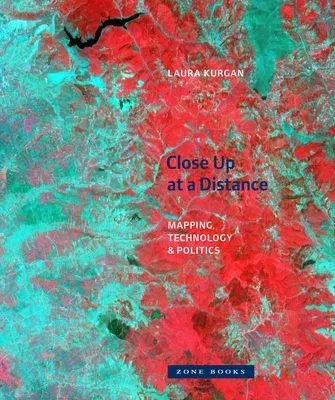
In Close Up at a Distance, Laura Kurgan offers a theoretical account
of these new digital technologies of location and a series of practical
experiments in making maps and images with spatial data. Neither simply
useful tools nor objects of wonder or anxiety, the technologies of GPS,
GIS, and satellite imagery become, in this book, the subject and the
medium of a critical exploration.
Close Up at a Distance records situations of intense conflict and
struggle, on the one hand, and fundamental transformations in our ways
of seeing and of experiencing space, on the other. Kurgan maps and
theorizes mass graves, incarceration patterns, disappearing forests, and
currency flows in a series of cases that range from Kuwait (1991) to
Kosovo (1999), New York (2001) to Indonesia (2010).
Using digital spatial hardware and software designed for military and
governmental use in reconnaissance, secrecy, monitoring, ballistics, the
census, and national security, Kurgan engages and confronts the politics
and complexities of these technologies and their uses. At the
intersection of art, architecture, activism, and geography, she
uncovers, in her essays and projects, the opacities inherent in the
recording of information and data and reimagines the spaces they have
opened up.

