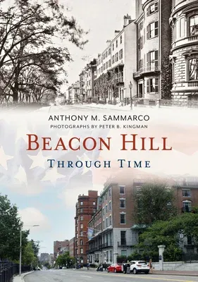
Beacon Hill is not just the location of the Massachusetts State House
but is a neighborhood which has evolved over the last two centuries as a
thriving nexus of cultures. Beacon Hill was one of the three hills of
Boston (known as the Trimount, later Tremont, and for which a street was
named) that included Mount Vernon on the left of Beacon Hill and
Pemberton Hill on the right. Known for its Federal-style red brick row
houses, narrow gaslit cobblestone streets and brick sidewalks, it is not
just a historic neighborhood but one that embraces people of all walks
of life from the early nineteenth century to the present. Beacon Hill
was cut down in the early nineteenth century and the soil was used to
infill and create buildable land. The area at the foot of Beacon Hill,
just west of Charles Street, was infilled from the soil carted to the
foot of the hill by a railway system to create a flat plain that
stretched from Beacon Street opposite the Public Garden to Cambridge
Street. As Nathaniel Shurtleff said in A Topographical and Historical
Description of Boston: The hills have been removed to fill up valleys
and waste places; streets, vying with each other in their comfortable
and sightly mansion houses, have been laid out ... and in the Beacon
Pole, upon which the warning light and so often blazed, has become now
the most populous, as well as the most comfortable part of the city. The
quintessential red brick row houses of Beacon Hill, built by the Boston
Brahmins, were a few blocks away from the North Slope of the hill in the
late nineteenth century. This area was initially an African American
community and later that of immigrants, among them Jewish immigrants who
would see places of worship, tenements and apartment buildings built.

