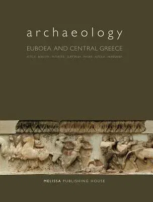
From the editor's preface: The first volume in the series "Archaeology"
examined the Aegean islands, excepting Euboea. I had pointed out there
that this exception was dictated by the geographical peculiarity of
Euboea and its dual -island and mainland- cultural physiognomy over the
millennia. The second volume completes the circumnavigation of the
islands, opening with the large island of Euboea in the Aegean. It then
moves westwards towards the Ionian Sea, covering the southern part of
the Greek Mainland, the region known today as Central Greece or Sterea
Hellas. During historical times, this wide geographical region was not a
discreet entity with a specific name, as were Thessaly, Epirus or the
Peloponnese. Nevertheless, the prefectures of Central Greece (Attica,
Boeotia, Phthiotis, Evrytania, Phokis, Aetoloakarnanania), that is, the
modern administrative-geographical districts, coincide for the greater
part of their territory with the ancient regions that in Antiquity were
defined as lands of 'ethne' or tribes. For the long prehistoric era
(from the appearance of man to the early first millennium BC), there is,
of course, no evidence on the tribally or ethnically constituted
regions, since there are no written sources to corroborate such a
division. There existed also ancient ethnic-geographical unities
(Phokis, Lokris, Doris, Achaia Phthiotis and others) - frequently these
too with vague or fluctuating boundaries, like their populations - which
do not coincide with modern administrative divisions of Central Greece.
Last, and this too is not unrelated to the archaeological 'human
geography' of the Greek Mainland, the Ephorates of Prehistoric and
Classical Antiquities of the Hellenic Ministry of Culture supervise
small parts of neighbouring prefectures, weaving a singular
topographical canvas that complicates the overall study of the ancient
tribal territories.

