Collins

(Author)

2024 Collins Handy Road Atlas Britain and Ireland: A5 SpiralSpiral, 16 August 2023
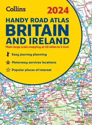
2024 Collins Handy Road Atlas Britain and Ireland: A5 Spiral
Qty
1
Turbo
Ships in 2 - 3 days
In Stock
Free Delivery
Cash on Delivery
15 Days
Free Returns
Secure Checkout
Buy More, Save More
Part of Series
Collins Road Atlas
Print Length
80 pages
Language
English
Publisher
Collins
Date Published
16 Aug 2023
ISBN-10
0008597618
ISBN-13
9780008597610

Description

This easy-to-use, handy A5 sized road atlas with popular lie-flat spiral binding features extremely clear route planning maps of Britain and Ireland and fits neatly into your glove box or bag. The atlas has been fully updated.

The maps of Britain are at 9.9 miles to 1 inch (1:625,000) and the whole of Ireland is covered at 15.8 miles to 1 inch (1:1,000,000). There are also a selection of more detailed urban area maps at 4.5 miles to 1 inch (1:285,000) to aid route planning in these busy areas.

Main features

  • Road maps that focus on the main roads, motorways and settlements.
  • More detailed maps of London, Manchester, Merseyside and West Midlands.
  • Park & Ride locations (for bus and rail).
  • Handy distance calculator chart highlighting distances between the major towns.

Product Details

Author:
Collins
Book Format:
Spiral
Country of Origin:
US
Date Published:
16 August 2023
ISBN-10:
0008597618
ISBN-13:
9780008597610
Language:
English
Pages:
80
Publisher:

Related Categories


Need Help?
+971 6 731 0280
support@gzb.ae

About UsContact UsPayment MethodsFAQsShipping PolicyRefund and ReturnTerms of UsePrivacy PolicyCookie Notice

VisaMastercardCash on Delivery

© 2024 White Lion General Trading LLC. All rights reserved.